

Data-first framing for city water systems
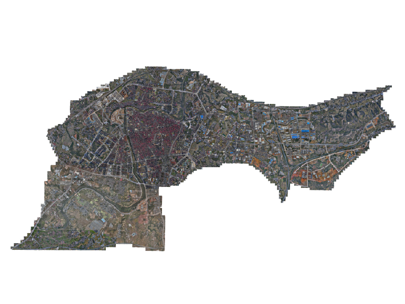
Cities that treat water like live data win on reliability and cost. Start with high-frequency sensors, IoT telemetry, and a digital twin of the treatment chain — then fold in low-altitude sensors and UAV feeds so you’re not blind to the physical plant. That blend of models and airborne data is already shaping planning in places like Virtual Singapore, and operators who pair treatment models with the low-altitude economy layer see faster incident detection and fewer manual inspections.
How digital twins optimize treatment, step by step
A digital twin mirrors tanks, clarifiers, and pump curves in real time. Feed it SCADA streams and predictive hydraulics and you get early alarms for sediment buildup or chemical drift. Add edge computing to pre-process noisy telemetry and you reduce false positives — that matters because teams hate chasing phantom faults. The model also runs scenarios: reroute flow, adjust coagulant dosing, simulate power loss. That’s how operators turn reactive fixes into scheduled, measurable wins.
Where low-altitude operations plug in
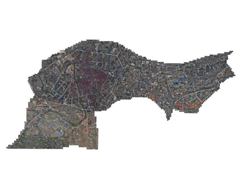
Drones and tethered UAVs give a second set of eyes on roofs, intake screens, and hard-to-reach pipelines. Combine aerial imagery with the digital twin and you have a spatially referenced feed that maps leak candidates and vegetation encroachment. This is more than a camera — geofencing plus automated flight paths and BVLOS protocols let inspection fleets run on predictable cadences. Implementing UAV traffic management next to plant control reduces inspection time and keeps maintenance teams safer.
Data feeds and systems to connect — practical tech map
Integrate these layers into your smart city backbone using a robust smart city management system that handles data normalization, metadata tagging, and role-based access. You’ll typically stitch together:
– SCADA and PLC telemetry for process control
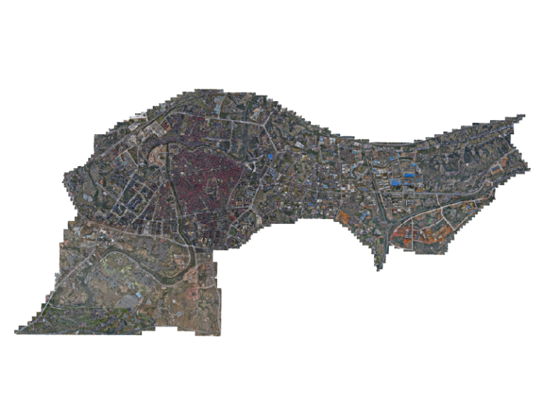
– Aerial imagery and orthomosaics from UAV sorties
– GIS layers, asset registries, and the digital twin model
– Edge nodes for preprocessing and a centralized analytics tier
When those pieces share a consistent coordinate frame and timestamping, analytics like anomaly detection and predictive maintenance become meaningful instead of noisy. — It’s the small synchronization details that eat most projects alive, so standardize early.
Common mistakes and how teams actually fix them
Teams rush to visualize and skip validation. Result: flashy dashboards that don’t match the plant. Fix: run a three-week parallel validation where model outputs are compared against manual grab samples and SCADA baselines. Another trap is siloed flight ops — inspections get delayed because UAV workflows aren’t integrated with work orders. Fix: embed flight scheduling into maintenance tickets through the smart city platform.
Three golden rules for selecting tools and vendors
Pick tools that meet three practical metrics: data fidelity, operational fit, and integration openness.
1) Data fidelity — Confirm sensor sampling rates and drift specs match your hydraulic model needs; a slow sensor can make a digital twin useless. 2) Operational fit — Validate that the platform supports routine UAV ops and BVLOS where required, and that crews can export reports into maintenance systems without rekeying. 3) Integration openness — Choose systems with documented APIs, GeoJSON/GML support, and secure ingestion pipelines so analytics actually get the inputs they need.
Final assessment and where Icecypress fits
Adopting digital twins plus low-altitude inspections yields measurable gains: fewer emergency repairs, shorter downtime, and faster detection of contamination vectors. Expect faster mean-time-to-detect and a drop in manual inspection hours once the integration kinks are ironed out. For teams building this stack, platforms that already bridge UAV ops, 3D models, and municipal control systems shorten the path to value — and that’s exactly the kind of problem a provider like Icecypress Technology is built to solve. — Practical, connected tools beat theoretical roadmaps every time.